-40%
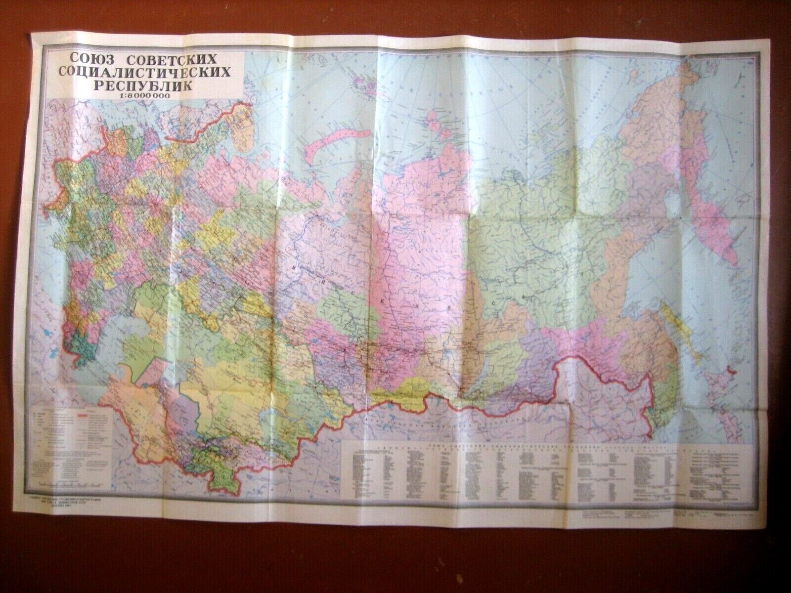
Wall Map. USSR Political and Administrative Map Soviet Union.
$ 8.97
- Description
- Size Guide
Description
Good conditionPolitical and administrative map of the USSR 15 republics of the USSR
Year 1980s- Moscow.
Scale 1: 8,000,000
The circulation of 800000 copies.
Size: 110 cm * 71 cm (43.31 "* 27.95")
This Classic style wall map features a bright color palette with blue oceans and the country's Thousands of place names, accurate political boundaries, bodies of water, and major infrastructure networks
Includes 15 Soviet republics:
Latvia, Lithuania, Estonia, Belarus, Ukraine, Moldova, Russia, Georgia, Armenia, Azerbaijan, Turkmenistan, Uzbekistan, Kazakhstan, Kyrgyzstan, Tajikistan
Now these are independent states of the former Soviet Union
Great for your collection !
ANY DEFECTS NOT MENTIONED BUT VISIBLE IN THE PICTURES WILL BE CONSIDERED AS DESCRIBED.
We do not ship to P.O. boxes
Politics feedback:
PLEASE DO NOT FORGET TO GIVE YOUR FEEDBACK.
YOUR FEEDBACK IS GREATLY APPRECIATED.
Good packing guaranteed.
Thanks in advance if your item is delayed in the mail, do not rush to give negative feedback or open a case.
Write an e-mail message - I can solve any problem.
I AM ALSO NOT RESPONSIBLE FOR ANY CUSTOMS DUTIES,TAXES,ETC IMPOSED BY YOUR COUNTRY.


